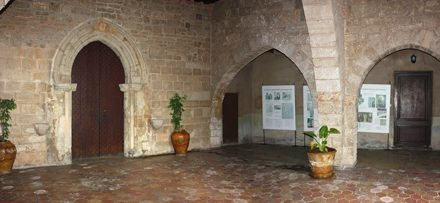
The importance and efficiency of using a planning and comprehensive planning and conscious Mallorca goes back to Roman colonization.
That is why I have focused my study at this time s. I to V AD. and the territory of Mallorca especially, but found the model is also applicable in most of the territories colonized by the Romans.
The content of my study is based on the recognition of “morphogen” of a past pattern of land use, urban planning and architecture that resembles the current revolutionary system of “Networked cities” or “Network Nodes”.
After more than 6 years of study of the methodology used by the Romans, I can find that perfect model developed a highly sustainable and efficient, according to the degree of technological development enjoyed in classical times and according to its goal of colonization new territories were systematically turning, weaving a wise geometric structure then served as a matrix for the remaining sites of settlements in terms of activities to develop.
From theory of networks
This is a comprehensive land use based on the theory of long-distance connection nodes in the network organized hexagonal array Ulrix F. (1963), and another orthogonal matrix overlay network that gives rise to the famous centuries, which were established with the objective of controlling the territory conquered by the empire, and thus amortize the costly contests.
Other authors (Walter Christaller 1933) have wanted to see as a chance the settlement pattern of some pre-classical civilizations, and maybe that was at times, but all indications are that in classical times came to conceptualize the development model whereby organic spontaneously organize themselves living under the resulting network theory developed here and we want to present.
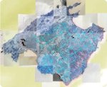
After years of study in the context of my PhD thesis “Managing Mallorca territory in Roman times,” I have seen and verified the existence of a geometric land, based on exact mathematical and geometric relationships that allow us to explain the diversityunits of measurement used in classical times.
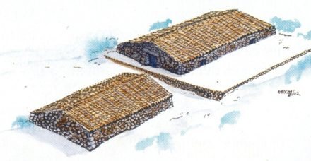
As we anticipated, there are two interconnected networks of hexagonal base that relates, through longitudinal axes, the main populated areas or cities, at distances of Roman Miles (1478.5 m) and which derives in turn, another network orthogonal, in which a change of scale are obtained Actus Romans (1420.8 m) based on which half the agricultural area, hydraulic systems, villas and other important buildings.
This change of scale (actus miles) was obtained by the interposition of a branch axis shaft I have called Cardinatión.
The Roman miles (1478.5 m) were used to measure distances on the main arteries of the empire, and 40 Actus (1420.8 m) to measure land distances of the centuries (cf. Bibliography).
The methodology followed in the development of this theory is well proven in several enclaves in Mallorca giving a comprehensive and coherent most Roman sites inventoried.
This model allows you to locate a high degree of reliability elsewhere in locating new sites forgotten, are towns, cities or large public buildings.
The XXI century archaeological expeditions should consist of multidisciplinary teams and counted as well as to archaeologists, with such technical studies on the territory which are reflected many times in similar ways fossilized remains of the existing network and only by the orientation and segmentation can deduce its Roman origin.
The analysis of the fossilized remains and learning of the symbols that represent together, we will open a new field of research and reading information printed on the territory over the centuries not sufficiently analyzed so far, and what role such printed in Latin, gives us lots of information is never lost, but merely ignored and forgotten for several millennia.
Given this model, we can better protect our archaeological heritage and to give greater importance and perhaps tourism development.
+info: RomanMallorca